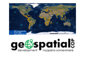
The Independent Evaluation Office (IEO) of the GEF presented six case studies from the biodiversity, international waters, and land degradation focal areas of the GEF at the First Geospatial Day celebrated at the World Bank on 1 November 2016.
The case studies demonstrated how the IEO has been using geospatial science combined with big data analytics and cutting edge technology to complement traditional evaluation methods.
A case study on Lake Victoria from the international waters focal area showed decrease in water hyacinth, demonstrating the utility of using time series decomposition of biophysical variables derived from satellite data to study long term impacts. In the biodiversity focal area, the case studies showed how satellite data was utilized to study forest change, and design quasi- experimental methods for selecting appropriate counterfactuals and identify drivers of environmental degradation that helped understand the impact of the GEF support. In the land degradation focal area projects, the IEO showed its work on assessing the Value for Money (VfM) of GEF investments using quasi-experimental methods and utilizing geospatial data on biophysical and socio-economic indicators. The VfM study helped quantify the impact of GEF interventions and provided in-depth understanding of the context related to their environmental outcomes.
The IEO continues to participate in data forums and events to share experiences on using these advanced technologies for monitoring and evaluation.
