Environmental projects benefit from the geospatial information, with both targeting and impact evaluation activities able to take advantage of a wide variety of global datasets that examine land cover change, vegetative density, and biodiversity.
This session presented a few recent case-studies conducted by the Independent Evaluation Office of the Global Environment Facility with AidData leveraging spatial information, as well as introduce an online tool. The session also included a brief tutorial illustrating how to use GeoQuery, and an illustrative example of how this spatial data can be used in both impact evaluation and targeting contexts.
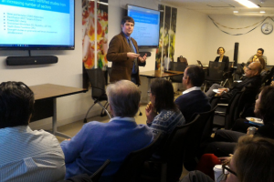
Presenter: Dr. Dan Runfola, Senior Geospatial Scientist, AidData
Moderator: Geeta Batra, Chief Evaluation Officer and Deputy Director, Independent Evaluation Office Global Environment Facility